
Geography education reimagined
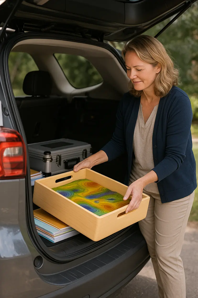
AIRbox brings professional-grade augmented reality sandbox technology to schools and institutions at a fraction of the traditional cost, with unmatched portability and ease of use.
Innovative Technology
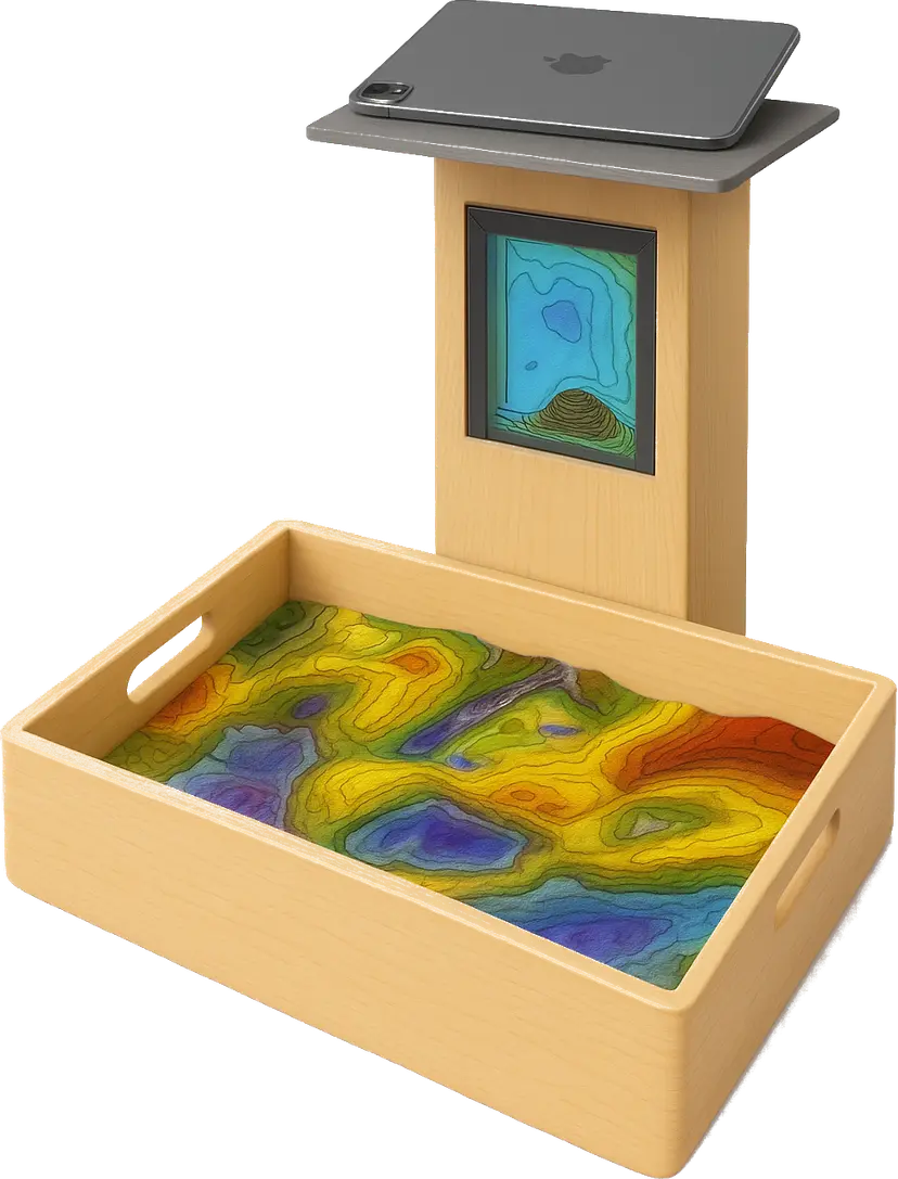
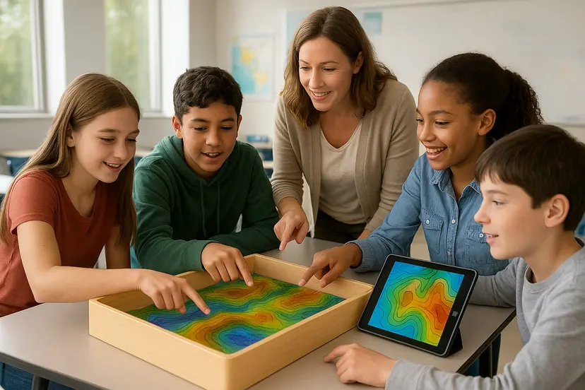
Interactive Terrain Modeling
Shape sand to create mountains, valleys, and rivers. Watch as AIRbox instantly projects topographic maps with elevation colors and contour lines directly onto your terrain. Perfect for understanding geographic concepts and landform relationships.


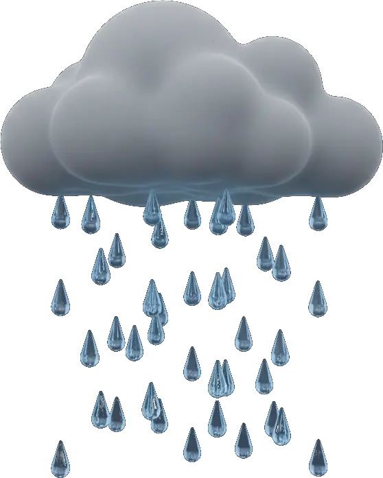
Real-Time Water Simulation
Experience realistic flood simulations as you hold your hand above the terrain like a rain cloud. Watch water flow naturally through your landscape, demonstrating the effects of heavy precipitation and helping visualize flood prevention strategies.

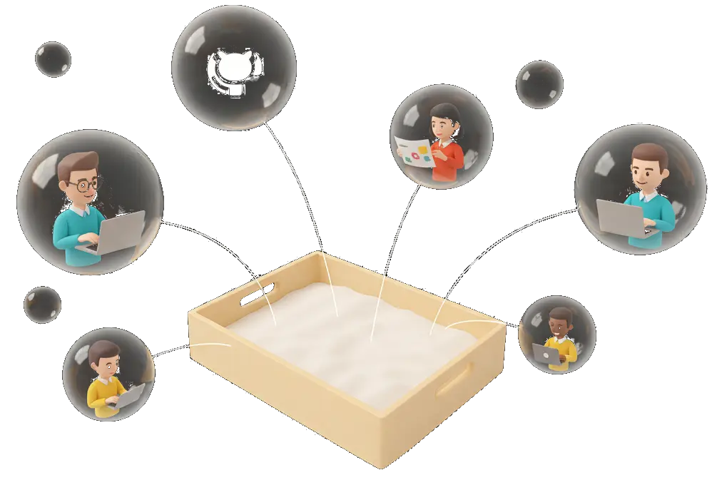
Open Source & Community
AIRbox will be available as an open source project, enabling educators, researchers, and enthusiasts worldwide to access cutting-edge AR sandbox technology. Join our growing community making geography education accessible to everyone.
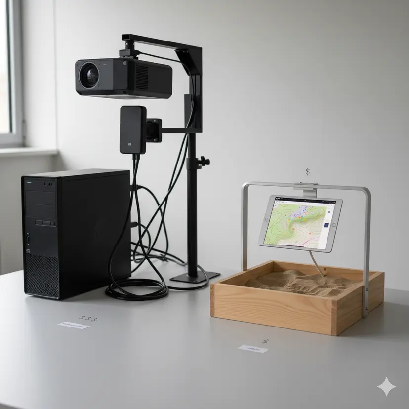
All processing on your iPad
Experience the power of edge computing with AIRbox. Unlike traditional AR sandboxes requiring expensive external computers and depth sensors, AIRbox harnesses your iPad's built-in LiDAR sensor to capture terrain, process simulations, and project visualizations—all on a single device.
 Real-time terrain detection using built-in LiDAR sensor
- AI-powered hand detection for rainfall simulation
- On-device flood simulation and visualization processing